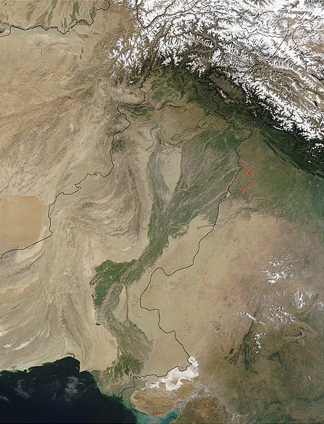
Vaizdas:Indus.A2002274.0610.1km.jpg

Šios peržiūros dydis: 458 × 599 taškų. Kitos 5 rezoliucijos: 183 × 240 taškų | 367 × 480 taškų | 587 × 768 taškų | 783 × 1 024 taškų | 1 300 × 1 700 taškų.
Didesnės raiškos iliustracija (1 300 × 1 700 taškų, rinkmenos dydis: 480 KiB, MIME tipas: image/jpeg)
Rinkmenos istorija
Paspauskite ant datos/laiko, kad pamatytumėte rinkmeną tokią, kokia ji buvo tuo metu.
| Data/Laikas | Miniatiūra | Matmenys | Naudotojas | Paaiškinimas | |
|---|---|---|---|---|---|
| dabartinis | 16:03, 28 kovo 2008 |  | 1 300 × 1 700 (480 KiB) | File Upload Bot (Magnus Manske) | {{BotMoveToCommons|en.wikipedia}} {{Information |Description={{en|en:Satellite image of the en:Indus River basin. Red dots indicate fires. International boundaries are superimposed; the boundary through en:Jammu and Kashmir reflects the [[ |
Paveikslėlio naudojimas
Paveikslėlis yra naudojamas šiuose puslapiuose:
Visuotinis rinkmenos naudojimas
Ši rinkmena naudojama šiose viki svetainėse:
- Naudojama af.wikipedia.org
- Naudojama ar.wikipedia.org
- Naudojama arz.wikipedia.org
- Naudojama ast.wikipedia.org
- Naudojama as.wikipedia.org
- Naudojama azb.wikipedia.org
- Naudojama az.wikipedia.org
- Naudojama ba.wikipedia.org
- Naudojama be-tarask.wikipedia.org
- Naudojama bh.wikipedia.org
- Naudojama bn.wikipedia.org
- Naudojama bo.wikipedia.org
- Naudojama br.wikipedia.org
- Naudojama bxr.wikipedia.org
- Naudojama ca.wikipedia.org
- Naudojama ceb.wikipedia.org
- Naudojama ce.wikipedia.org
- Naudojama ckb.wikipedia.org
- Naudojama cy.wikipedia.org
- Naudojama da.wikipedia.org
- Naudojama en.wikipedia.org
- Naudojama eo.wikipedia.org
- Naudojama es.wikipedia.org
- Naudojama fa.wikipedia.org
- Naudojama fiu-vro.wikipedia.org
- Naudojama gd.wikipedia.org
- Naudojama gl.wikipedia.org
- Naudojama hi.wikipedia.org
- Naudojama hy.wikipedia.org
- Naudojama ia.wikipedia.org
- Naudojama id.wikipedia.org
- Naudojama ilo.wikipedia.org
- Naudojama incubator.wikimedia.org
- Naudojama is.wikipedia.org
- Naudojama it.wikipedia.org
Žiūrėti visuotinį šios rinkmenos naudojimą.


