Vaizdas:Danube delta satelite.png
Šios peržiūros dydis: 796 × 599 taškų. Kitos 6 rezoliucijos: 319 × 240 taškų | 638 × 480 taškų | 1 020 × 768 taškų | 1 280 × 964 taškų | 2 560 × 1 928 taškų | 2 720 × 2 048 taškų.
Didesnės raiškos iliustracija (2 720 × 2 048 taškų, rinkmenos dydis: 11,57 MiB, MIME tipas: image/png)
| Ši byla yra iš bendros Wikimedia Commons nemokamų resursų duomenų bazės, palaikomos Wikimedia Foundation organizacijos. Norėdami sužinoti licencijavimo smulkmenas, žiūrėkite paveikslėlio aprašymą |  |
Į paveikslėlio aprašymą |
Aprašymas
| Aprašymas |
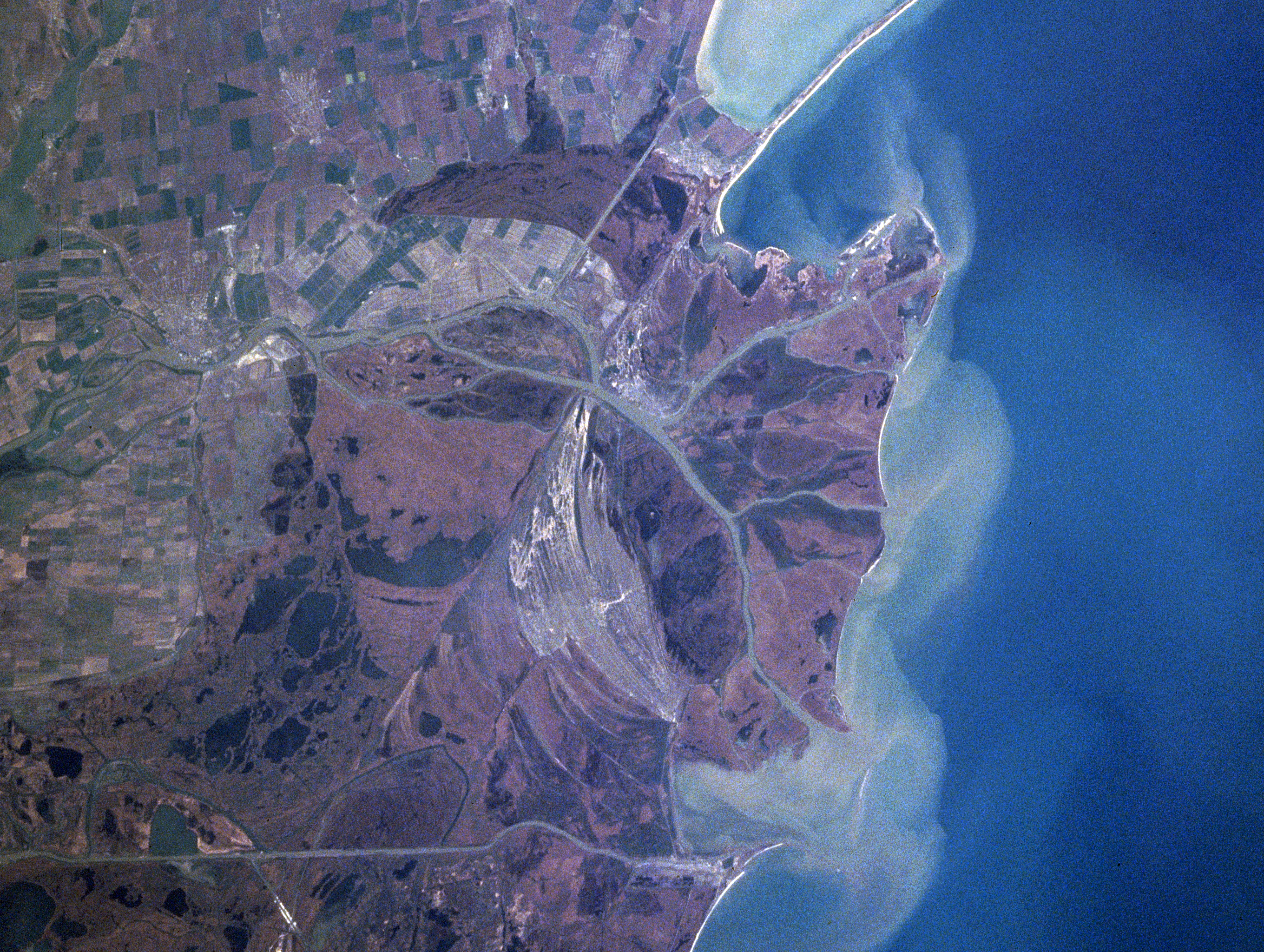
Español: Sector septentrional del delta del Danubio. Se aprecian los sedimentos en suspensión con que se constituye
Foto de satélite (NASA) English: Danube River Delta, Romania/Ukraine Winter/Spring 1998
|
| Data | Taken on 1998 m. balandžio 16 d., 12:15:20 UTC |
| Šaltinis | https://eol.jsc.nasa.gov/searchphotos/photo.pl?mission=NASA7&roll=720&frame=006 |
| Autorius | NASA/Mir astronaut |
This image or video was catalogued by one of the centers of the United States National Aeronautics and Space Administration (NASA) under Photo ID: NASA7-720-6. This tag does not indicate the copyright status of the attached work. A normal copyright tag is still required. See Commons:Licensing. Other languages:
|
Licencija
| Šis failas licencijuojamas viešajam naudojimui, nes jis buvo sukurtas NASA. NASA autorinių teisių taisyklės nurodo, kad „NASA medžiaga nėra saugoma autorinių teisių, išskyrus pažymėtą“ (NASA autorių teisių taisylės arba JPL paveikslėlių naudojimo tvarka). | ||
 |
Įspėjimai:
|
Rinkmenos istorija
Paspauskite ant datos/laiko, kad pamatytumėte rinkmeną tokią, kokia ji buvo tuo metu.
| Data/Laikas | Miniatiūra | Matmenys | Naudotojas | Paaiškinimas | |
|---|---|---|---|---|---|
| dabartinis | 01:06, 4 vasario 2021 | | 2 720 × 2 048 (11,57 MiB) | Ras67 | high resolution |
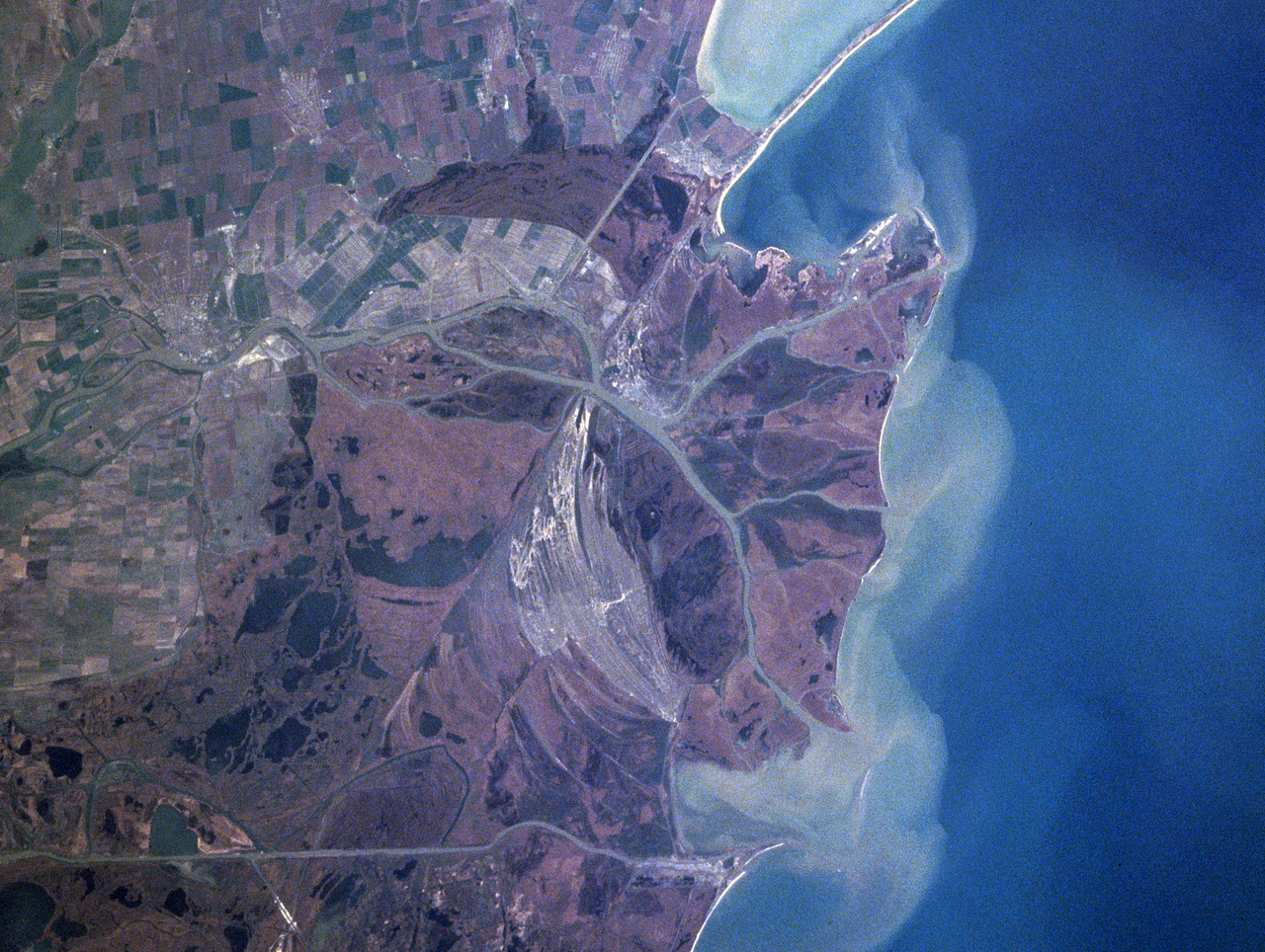
| 04:41, 13 birželio 2005 |  | 322 × 243 (43 KiB) | Shizhao | Danube Delta satellite photo, source: http://earth.jsc.nasa.gov/sseop/efs/caption.pl?PHOTO=NASA7-720-6 {{PD-USGov-NASA}} |
Paveikslėlio naudojimas
Paveikslėlis yra naudojamas šiuose puslapiuose:
Visuotinis rinkmenos naudojimas
Ši rinkmena naudojama šiose viki svetainėse:
- Naudojama ast.wikipedia.org
- Naudojama bg.wikipedia.org
- Naudojama ca.wikipedia.org
- Naudojama da.wikipedia.org
- Naudojama en.wikipedia.org
- Naudojama en.wikivoyage.org
- Naudojama eo.wikipedia.org
- Naudojama es.wikivoyage.org
- Naudojama fr.wikipedia.org
- Naudojama is.wikipedia.org
- Naudojama it.wikipedia.org
- Naudojama ja.wikipedia.org
- Naudojama ko.wikipedia.org
- Naudojama li.wikipedia.org
- Naudojama nl.wikipedia.org
- Naudojama nn.wikipedia.org
- Naudojama oc.wikipedia.org
- Naudojama pt.wikipedia.org
- Naudojama scn.wikipedia.org
- Naudojama sh.wikipedia.org
- Naudojama simple.wikipedia.org
- Naudojama sk.wikipedia.org
- Naudojama sv.wikipedia.org
- Naudojama uk.wikipedia.org
- Naudojama vi.wikipedia.org
- Naudojama www.wikidata.org
- Naudojama zh.wikipedia.org